
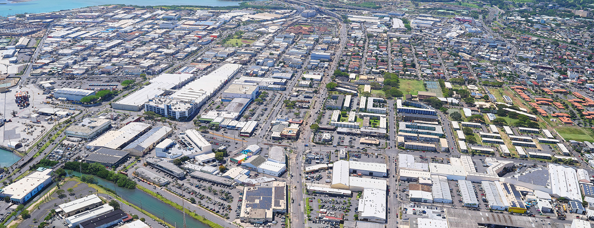
The Honolulu Authority for Rapid Transportation (HART) announced today that Apple Maps is now updated to reflect the current traffic conditions throughout HART’s construction area along Dillingham Boulevard and Kamehameha Highway. The often-used app now navigates users safely to their destination in compliance with all current traffic conditions, including current left turn restrictions. Google Maps updated its app in April 2023.
“HART applauds Apple for the update to its Apple Maps app so that drivers can safely and effectively navigate through the Dillingham and Downtown areas,” said HART Executive Director and CEO Lori Kahikina, P.E. “Google Maps and Apple Maps are now providing drivers with accurate information about current traffic conditions in the construction zones.”
One traffic lane will be open in each direction on Kamehameha Highway and Dillingham Boulevard, from Middle Street to Kaaahi Street, 24 hours a day, 7 days a week. Left turns from Kamehameha Highway, Dillingham Boulevard and from driveways are restricted, except for the westbound left turn onto Alakawa Street and the westbound left turn onto Kaaahi Street. Left hand turns onto Dillingham can only be made at signalized intersections.
Alternating intersections in the mauka and makai direction will be closed intermittently during weeknights from 7:00 p.m. to 5:00 a.m. Access to all properties will be maintained.
Bus service will be maintained and bus stops will be relocated as needed. Pull-out lanes will be implemented at the bus stops to allow through-traffic. Honolulu Police Department officers and on-site personnel will assist motorists and pedestrians through the work areas.